
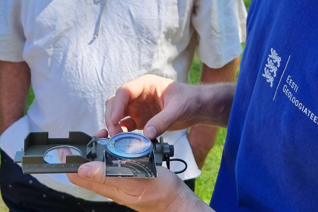
Supplementary mapping was performed in the Hiiumaa island during this summer. Additional data were collected for complex geological mapping that took place in 1994. Digitizing and correcting of old maps to match with the observation points covered altogether five map sheets in an area of approximately 1000 km².
Thanks to the network of ditches and tracks of the State Forest Management Centre, essential information was gathered for the less studied inner parts of Hiiumaa. An overview and assessment of sand and gravel pits, peat deposits and limestone quarries were conducted. An erratic bank of limestone, several tens of metres in diameter, located near the Reigi church is an example of new information.
The most remarkable object on the Hiiumaa map sheets is the Kärdla crater, which was formed as a result of a meteorite impact about 455 million years ago. It is not visible on the surface, but at places in Paluküla the crest of its ring wall is at the depth of merely 14 m. The deepest drill hole in Estonia (815.2 m), Soovälja (K-1) is located at the Kärdla meteorite crater depression.

